Benjamin Mwasambo

Benjamin Mwasambo

Data Scientist/Analyst

Biography

I am a Data Scientist and Analyst in Nairobi, Kenya, with five years of experience in providing data-driven business solutions and product development support. I have a bachelor’s in Forestry science and an on-going MSc in Geospatial Information Science and Remote sensing. My research focuses on vegetation change analysis using time-series Landsat(satellite) data and machine learning.

I have a keen interest in using data to provide solutions at the intersection of environment, finance, and economic development.

I am currently a Data Scientist at Blue Marble Microinsurance, previously worked as a Data Scientist at FarmDrive Limited and a GIS data analyst intern at Kenya Forest Service. I have technical skills of using R and SQL to analyze spatial and non-spatial datasets(see my projects), additional to GIS and Remote Sensing software.

Read more about my role on my resume or connect with me on LinkedIn.

Download my resumé.

Interests

  • Data Science
  • Geospatial Science
  • Remote Sensing
  • Business analytics

Education

  • MSc in Geospatial Information Science and Remote Sensing, 2021

    Jomo Kenyatta University of Agriculture and Technology

  • BSc. in Forestry Sciences, 2015

    University of Eldoret
Proffessional development

Data Scientist with R

See certificate

Projects

*

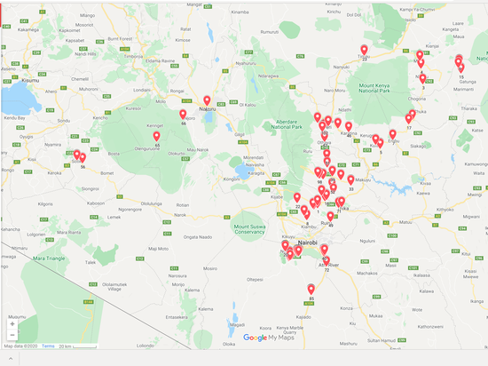
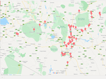
Clients location - Google map

Clients location and additional information displayed on google map.Click on the markers to see additional details as recorded in the dataset.

Crop monitoring using Earth Observation data

Monitoring of agricultural crops using biophysical variable,Leaf Area Index(LAI), from sentinel 2 data and regional soil moisture properties data from soil moisture and ocean salinity SMOS satellite. I was involved in this project with European Space Agency and VISTA GmbH exploring Food Security Thematic Exploitation Platform (FS-TEP)

Insights from Loan portfolio analysis for a FinTech loan product

To gain actionable insights from a case FinTech product, we shall do an in-depth analysis of customers’ loan dataset.

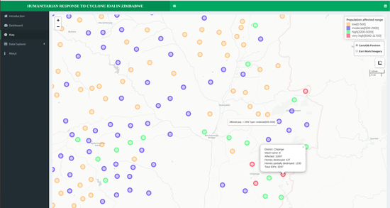
Interactive web map with leaflet and Shiny in R

A web application/map developed in R using shiny and leaflet packages to show the spatial effects of Cyclone Idai at district and ward level in Zimbabwe.

Loan portifolio analysis dashboard

This data visualization tool built in R using shiny and shinydashboard packages shows insights from loan portifolio analysis for a Fintech case product.

Spatial modeling and Interpolation

A spatial variogram model of spatially known soil properties variables points and prediction of unknown points/locations using kriging interpolation.

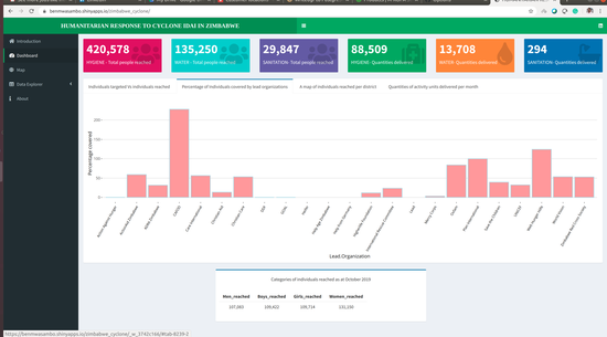
Humanitarian Response to Cyclone Idai in Zimbabwe

This interactive dashboard shows insights from humanitarian response to cyclone Idai in Zimbabwe between March and October 2019.

Static Maps

All projects that involves static mapping using GIS mapping softwares and R